Live water level
Nolin Lake Level Today
Nolin Lake level right now, from U.S. Army Corps of Engineers and National Weather Service gauges: elevation, 24-hour change, distance from summer and winter pool, dam release and the NWS pool forecast.
Nolin Lake level now
0.78 ft below summer pool (515 ft) · 24.22 ft above winter pool (490 ft)
- Release from the dam (outflow)128 cfs
- NWS forecast pool513.68 ft
Provisional real-time data from federal agencies; it can change after review. Checked Oct 28, 2026, 12:44 PM ET.
Heads up: we're an independent guide. Some links may earn us a referral fee, which never changes what you pay or what we recommend. Conditions change fast on the water, so confirm closures and levels with the official source. How we make money.
How to read the Nolin Lake level
- Elevation is the lake surface in feet above sea level (NGVD29 datum), not the depth.
- Summer pool, 515 ft, is the target for the boating season.
- Winter pool, 490 ft, is where the Corps holds the lake through winter. That's a 25-foot difference, so coves, beaches and some ramps that work in July can be mud flats in February.
- Above summer pool means the Corps is storing floodwater. Expect floating debris, flooded ramps and parking lots, and higher releases from the dam.
- Release (outflow) is how much water the Corps is letting out of the dam, in cubic feet per second. It matters for fishing and paddling the Nolin River below the dam.
Ramps and the level
The Corps keeps the Arnold Van Meter (dam) and Moutardier ramps open all year, while Iberia and Dog Creek are seasonal (April 1 to October 31). Any ramp can close in extreme high or low water. The state park's Brier Creek ramp is listed as year-round. See the Nolin Lake guide for marinas and ramps.
Other lakes
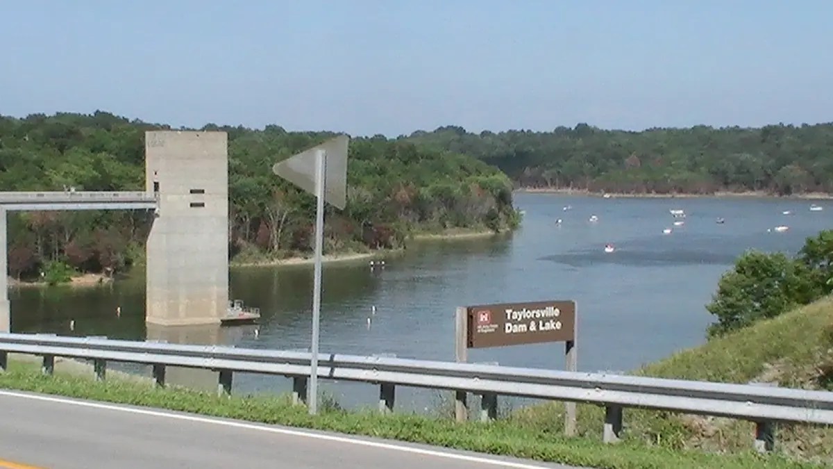
Rough River · Taylorsville · Ohio River at Louisville · All levels
FAQ
What is normal pool for Nolin Lake?
How often is the Nolin Lake level updated?
Is there a Nolin Lake water temperature today?
Where does this data come from?
Sources
Checked October 28, 2026. Agencies first; businesses are linked so you can confirm hours and prices with them directly.
- Nolin Lake water data (U.S. Army Corps of Engineers)
- CWMS Data API (U.S. Army Corps of Engineers)
- Nolin River at Nolin River Lake (NOLK2) (NOAA National Weather Service)
- USGS 03310900 Nolin Lake near Kyrock, KY (U.S. Geological Survey)
- Nolin River Lake recreation (ramp seasons) (U.S. Army Corps of Engineers)