River guide
Boating the Ohio River from Louisville to Madison: Ramps, Marinas, River Towns and Safety
A boating guide to the 48-mile McAlpine pool of the Ohio River between Louisville and Madison, Indiana: public ramps, marinas, river towns, barge and lock safety, the Madison Regatta and live river levels.
Ohio River at Louisville right now
10.20 ft below flood stage (23 ft at this gauge per the National Weather Service; action stage 21 ft)
- NWS forecast, McAlpine upper12.80 ft
- Stage below McAlpine Dam (USGS 03294500, Ohio River at Louisville)10.97 ft
- Flow at Louisville (USGS 03294500)29,400 cfs
- River elevation near Madison, IN (Clifty Creek gauge)421.76 ft
| NWS gauge | Observed | Forecast | Flood stage |
|---|---|---|---|
| McAlpine upper gauge (Louisville, above the dam) (MLUK2) | 12.80 ft Oct 28, 2026, 12:00 PM ET | 12.80 ft for Oct 28, 2026, 2:00 PM ET | 23 ft |
| McAlpine lower gauge (Louisville, below the dam) (MLPK2) | 10.97 ft Oct 28, 2026, 12:00 PM ET | 11.20 ft for Oct 29, 2026, 2:00 PM ET | 55 ft |
| Clifty Creek gauge (near Madison, IN) (CLFI3) | 421.76 ft Oct 28, 2026, 12:00 PM ET | 421.80 ft for Oct 29, 2026, 2:00 AM ET | 451 ft |
Provisional real-time data from federal agencies; it can change after review. Checked Oct 28, 2026, 12:44 PM ET.
Heads up: we're an independent guide. Some links may earn us a referral fee, which never changes what you pay or what we recommend. Conditions change fast on the water, so confirm closures and levels with the official source. How we make money.
From McAlpine Locks and Dam in Louisville, the Ohio River runs about 48 miles upstream to Madison, Indiana, as one long pool. There is no lock to pass, Kentucky on one bank and Indiana on the other, and river towns where you can tie up for lunch. It's the closest big water to Louisville, and it handles bigger boats than the lakes. It is also a working river with commercial tows, current and debris, so it rewards boaters who plan ahead.
Check the river before you go. The Ohio rises fast after heavy rain upstream, carries logs and debris, and floods ramps. The live Ohio River level page shows the McAlpine upper gauge against the National Weather Service action stage (21 ft) and flood stage (23 ft), plus the forecast.
The stretch at a glance
- Downstream end: McAlpine Locks and Dam, river mile 606.8, at Louisville. Above it is the pool this guide covers. Below it, the river drops to the lower pool past Shawnee Park.
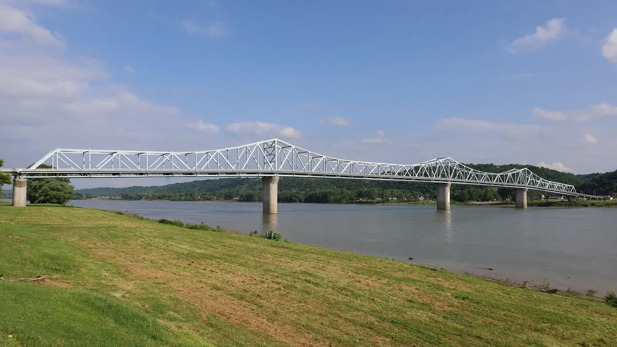
- Upstream end: Madison, Indiana, around mile 558 to 560, across the Milton–Madison Bridge from Milton, Kentucky. Markland Locks and Dam is about 26.5 miles farther up, so you don't pass a lock anywhere between Louisville and Madison.
- In between: the Louisville waterfront and Big Four Bridge, Harrods Creek and Prospect on the Kentucky side, Charlestown and Bethlehem on the Indiana side, and Westport, Kentucky, with its public ramp.
Public boat ramps
| Ramp | Side and location | Notes |
|---|---|---|
| Cox Park | Kentucky, River Road, Louisville | Above McAlpine Dam, closest to the city |
| Westport | Kentucky, Oldham County | Free, open 24 hours, courtesy dock (KDFWR) |
| Milton | Kentucky, across from Madison | Across the bridge from Madison |
| Madison City Ramp | Indiana, Madison riverfront | Walk to downtown Madison |
| Shawnee Park, Greenwood | Kentucky, west Louisville | Below McAlpine Dam. You must lock through to reach the Madison stretch. |
The Kentucky ramps come from Kentucky Fish and Wildlife's Ohio River access list. High water closes ramps and parking lots, so check the level first.
Marinas and fuel
- Captain's Quarters at Harrods Creek has a harbor with docks next to its Riverside Grille.
- Creekside Landing Marina is in the Harrods Creek and Prospect area.
- River's Edge Marina is at Charlestown, Indiana.
- Rivercrest Marina is in Madison, and the Rivercrest Lighthouse floating restaurant is at mile 558.1 (Waterway Guide).
Call ahead for transient slips and fuel. Services shrink after mid-October.
River towns worth the trip
- Westport, KY: a small river town with the free 24-hour public ramp. A good place to launch for runs upriver.
- Madison, IN: a historic downtown a few blocks from the river, the city ramp, Rivercrest's marina and floating restaurant, and Clifty Falls State Park on the bluff above town.
- Milton, KY: just across the bridge from Madison, with a public ramp.
Barge, lock and river safety
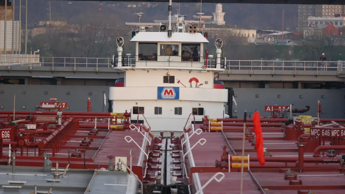
- Give tows all the room they need. A loaded tow can't swerve or stop quickly, and the pilot may not see a small boat close to the bow. Cross well behind a tow, never in front of it.
- Stay off the dam. Keep well away from McAlpine Dam and its marked restricted areas above and below the structure. Currents near a dam can pull a boat in.
- Locking through McAlpine: recreational boats can lock through, but commercial traffic has priority, so expect waits. Follow the lock crew's instructions and keep everyone in life jackets.
- Debris and current: after rain, watch for floating logs, especially at speed and at night. Current is stronger when the river is up.
- Wakes: tows and big cruisers throw large wakes. Take them bow-first.
- Weather and daylight: storms can build quickly over open water, and long stretches have few places to get off the river. Watch the radar and leave daylight to spare.
The Madison Regatta
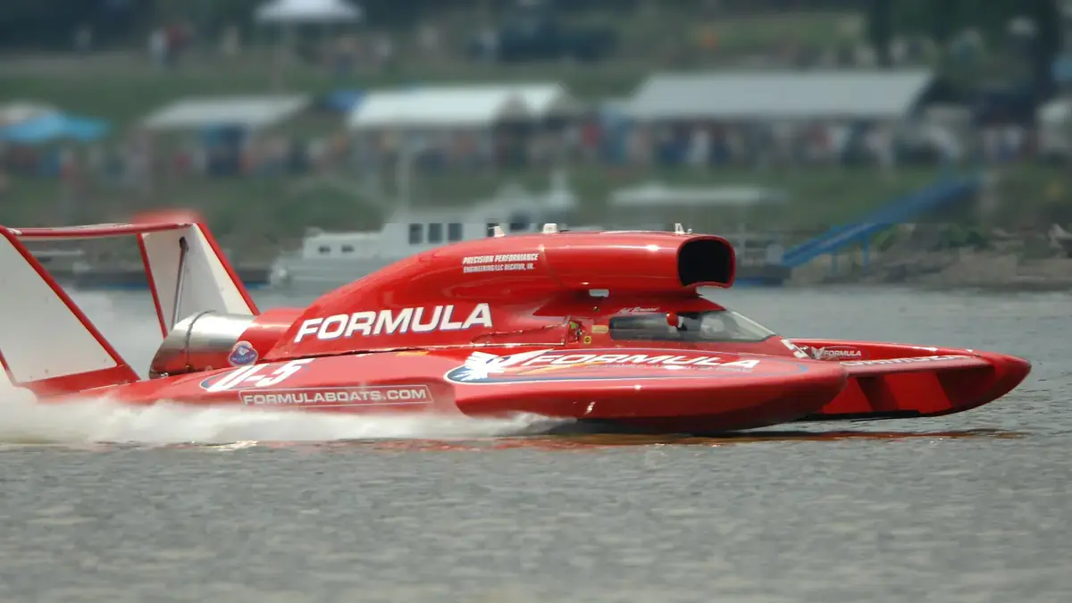
Every Fourth of July weekend, Madison hosts H1 Unlimited hydroplane racing on the river. In 2026 the event ran July 3 to 5 and hosted the APBA Gold Cup. The Madison Courier reported about 4,300 tickets sold a week out. Debris after rain delayed some of the 2026 racing. The river near the course is restricted on race days, so check the regatta's notices if you plan to come by boat.
Eat on the river
Captain's Quarters, River House and Levee, and Rivercrest Lighthouse all have docks. See restaurants on the water for the full list, split into reachable-by-boat and drive-only.
FAQ
Do you have to go through a lock to boat from Louisville to Madison?
Where can I launch a boat on the Ohio River near Louisville?
Is the Ohio River safe for recreational boats?
When is the Madison Regatta?
What is a normal Ohio River level at Louisville?
Sources
Checked October 28, 2026. Agencies first; businesses are linked so you can confirm hours and prices with them directly.
- McAlpine Locks and Dam (U.S. Army Corps of Engineers)
- Markland Locks and Dam (U.S. Army Corps of Engineers)
- Ohio River access sites, Louisville to Carrollton (Kentucky Department of Fish and Wildlife Resources)
- Westport boat ramp (Kentucky Department of Fish and Wildlife Resources)
- Ohio River at McAlpine Upper (MLUK2) (NOAA National Weather Service)
- Ohio River at Clifty Creek (CLFI3), near Madison (NOAA National Weather Service)
- USGS 03294500 Ohio River at Louisville (U.S. Geological Survey)
- Madison Regatta expects 30-boat field (Madison Courier)
- H1 Unlimited congratulates Madison Regatta after APBA Gold Cup weekend (H1 Unlimited)
- Rivercrest Lighthouse marina and restaurant, mile 558.1 (Waterway Guide)
- Rivercrest Marina, Madison (marina website)
- Captain's Quarters Riverside Grille (restaurant website)