Live water level
Ohio River Level at Louisville Today
Ohio River level at Louisville right now: the McAlpine upper gauge against action and flood stage, the NWS forecast, USGS stage and flow below the dam, and the river near Madison, Indiana.
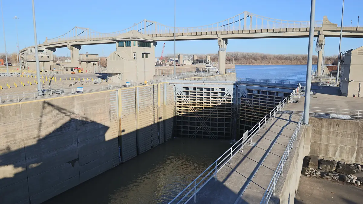
Ohio River at Louisville now
10.20 ft below flood stage (23 ft at this gauge per the National Weather Service; action stage 21 ft)
- NWS forecast, McAlpine upper12.80 ft
- Stage below McAlpine Dam (USGS 03294500, Ohio River at Louisville)10.97 ft
- Flow at Louisville (USGS 03294500)29,400 cfs
- River elevation near Madison, IN (Clifty Creek gauge)421.76 ft
| NWS gauge | Observed | Forecast | Flood stage |
|---|---|---|---|
| McAlpine upper gauge (Louisville, above the dam) (MLUK2) | 12.80 ft Oct 28, 2026, 12:00 PM ET | 12.80 ft for Oct 28, 2026, 2:00 PM ET | 23 ft |
| McAlpine lower gauge (Louisville, below the dam) (MLPK2) | 10.97 ft Oct 28, 2026, 12:00 PM ET | 11.20 ft for Oct 29, 2026, 2:00 PM ET | 55 ft |
| Clifty Creek gauge (near Madison, IN) (CLFI3) | 421.76 ft Oct 28, 2026, 12:00 PM ET | 421.80 ft for Oct 29, 2026, 2:00 AM ET | 451 ft |
Provisional real-time data from federal agencies; it can change after review. Checked Oct 28, 2026, 12:44 PM ET.
Heads up: we're an independent guide. Some links may earn us a referral fee, which never changes what you pay or what we recommend. Conditions change fast on the water, so confirm closures and levels with the official source. How we make money.
How to read the Ohio River level
- Stage is the water height at a gauge, measured from that gauge's own zero point. It isn't depth, and you can't compare it between gauges.
- The McAlpine upper gauge is the one to watch for boating between Louisville and Madison. Action stage (21 ft) is when the NWS starts watching for flooding, and flood stage (23 ft) is when low-lying riverfront land starts to flood.
- Rising fast is the warning sign for boaters: more current, more debris, and ramps and parking lots that can go under.
- Flow (cubic feet per second) at the USGS gauge shows how much water is moving past Louisville. It swings from low summer flows to many times higher in spring floods.
See the Ohio River boating guide for ramps, marinas, river towns and barge safety.
Other water levels
FAQ
What is flood stage for the Ohio River at Louisville?
Why are there two Louisville river gauges?
What does the Madison number mean?
Where does this data come from?
Sources
Checked October 28, 2026. Agencies first; businesses are linked so you can confirm hours and prices with them directly.
- Ohio River at McAlpine Upper (MLUK2) (NOAA National Weather Service)
- Ohio River at McAlpine Lower (MLPK2) (NOAA National Weather Service)
- Ohio River at Clifty Creek (CLFI3) (NOAA National Weather Service)
- USGS 03294500 Ohio River at Louisville, KY (U.S. Geological Survey)
- USGS Water Data OGC APIs (U.S. Geological Survey)
- McAlpine Locks and Dam (U.S. Army Corps of Engineers)