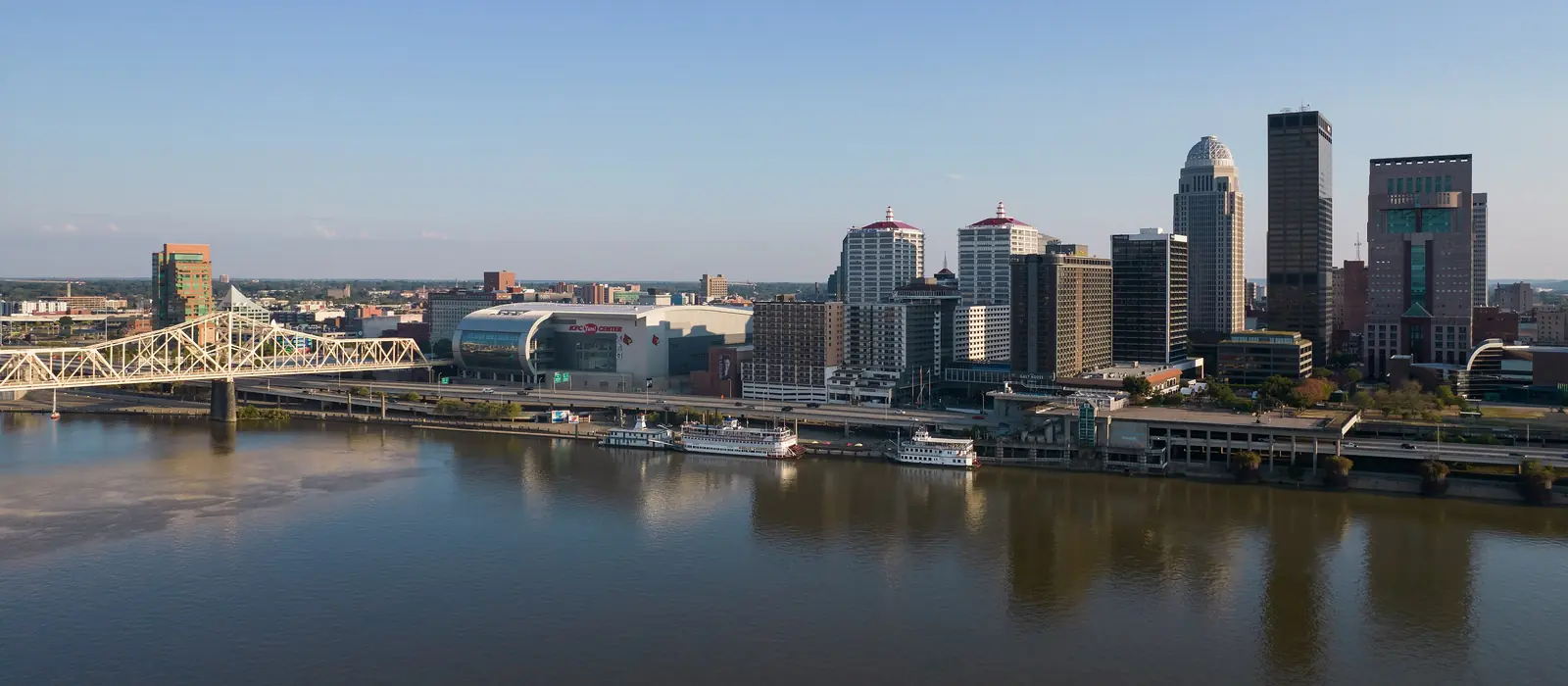
Lakes & river · Louisville, KY
Get on the water near Louisville
Taylorsville, Rough River and Nolin lakes and the Ohio River up to Madison. Live levels from federal gauges, plus ramps, marinas and places to eat on the water, all linked to the official source.
Photo: King of Hearts / Wikimedia Commons · CC BY-SA 4.0 · cropped
Lakes and river near Louisville
Live levels refresh every 30 minutes · drive times from downtown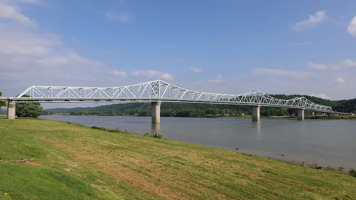
Ohio River, Louisville to Madison
48 miles of big river with no lock to pass, river towns, dock-and-dine stops and the Madison Regatta.
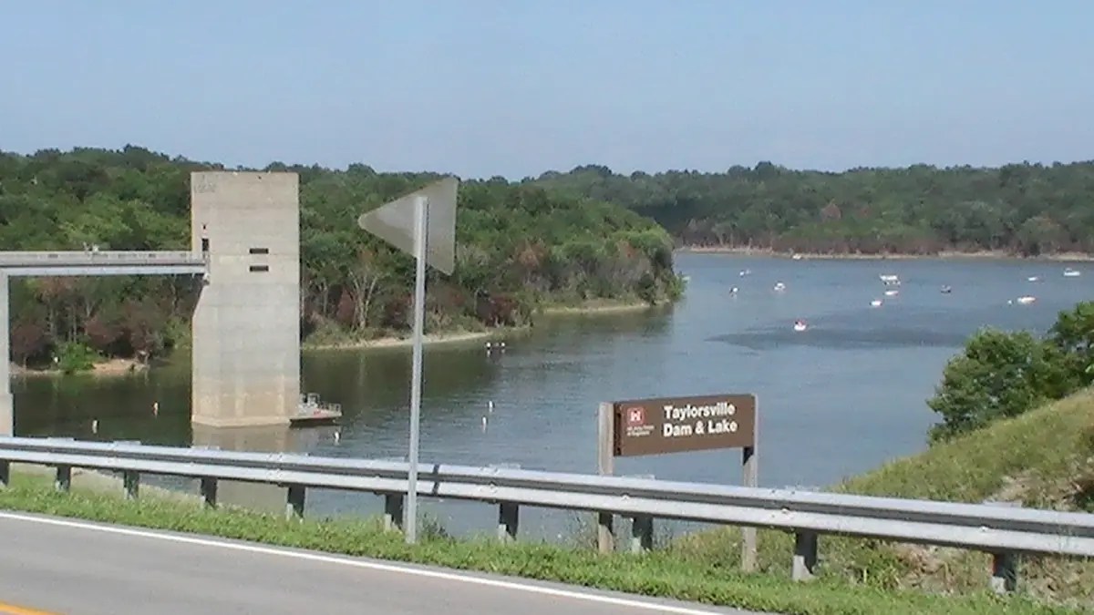
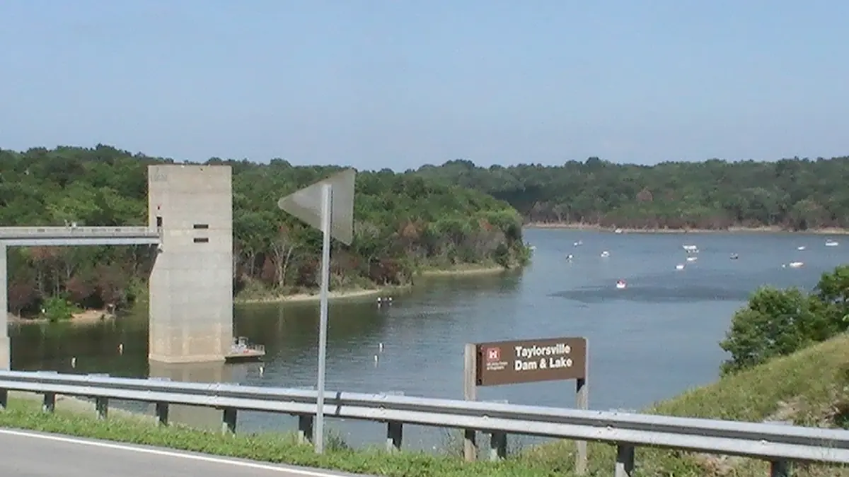
Taylorsville Lake
The closest big lake to Louisville: 3,050 acres, a marina with rentals and four free ramps.
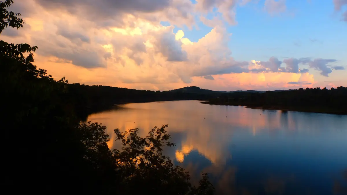
Rough River Lake
The busiest of the close-in Corps lakes: a resort park with a lodge, three marinas and 19 listed access sites.
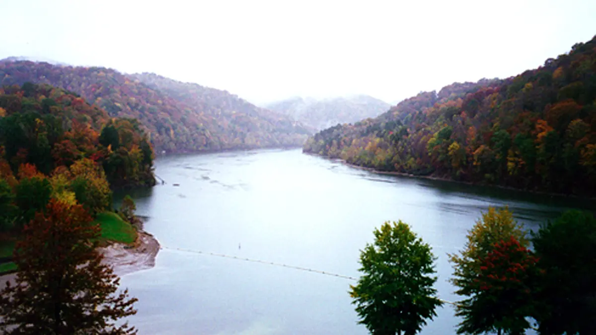
Nolin Lake
Three marinas, quiet coves and Mammoth Cave next door. Beach at the state park reopened Aug 7, 2026.
Heads up: we're an independent guide. Some links may earn us a referral fee, which never changes what you pay or what we recommend. Conditions change fast on the water, so confirm closures and levels with the official source. How we make money.
Drive times and what each is best for
| Water | Drive from downtown | Best for | Seasonal swing |
|---|---|---|---|
| Ohio River, Louisville to Madison | In town (Cox Park) to ~1 hr 10 min (Madison) | Bigger boats, river towns, dock-and-dine, the Madison Regatta | River rises with rain, not a set pool |
| Taylorsville Lake | ~45 to 60 min | Quick after-work trips, pontoon rentals, free ramps, trails | 2 ft (547 to 545) |
| Rough River Lake | ~1 hr 40 min | Resort park weekends, skiing on the open main lake, crappie | 25 ft (495 to 470) |
| Nolin Lake | ~1 hr 45 min | Quiet coves, houseboats, camping, Mammoth Cave next door | 25 ft (515 to 490) |
Drive times are routing estimates from downtown Louisville to the main marina or ramp. Traffic and your starting point change them. Pool elevations are from the U.S. Army Corps of Engineers.
Coming next: Lake Cumberland (about 2.5 hours away, the biggest lake in the region), then Barren River Lake.
Live water levels
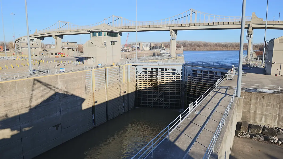
All levels →Elevation, 24-hour change, distance from summer pool, dam releases and forecasts. Pulled from the U.S. Army Corps of Engineers, USGS and the National Weather Service, and every number shows its source and time.
Plan the day
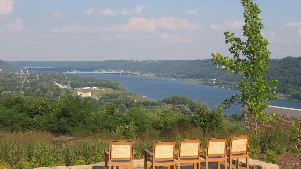 Eat
Restaurants on the water
Where you can tie up and eat, and which waterside spots you can only drive to.
 Buy & sell
Boats for sale near Louisville
Local listings are coming soon. Until then, here's how to shop safely.
 For owners
List your boat or business
Marinas, restaurants, rentals and private sellers: how featured listings will work.
How we keep it accurate
- Federal data, live. Levels come straight from the Corps of Engineers, USGS and the National Weather Service, each with an "as of" time. If a feed is down, we say so and link the official page.
- Facts with sources. Ramp seasons, park status and marina details link to the agency or business that published them. We don't list hours or prices, which change often, so call ahead.
- Independent. We are not part of any agency, park or marina. See how we research.